
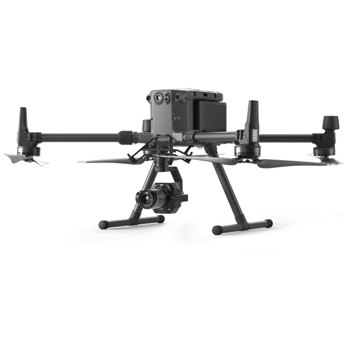
Matrice 350 RTK
Surveying and engineering inspection with a mission-suited payload.
A Saudi business specializing in drone solutions, founded by engineers with expertise in operations and aerial data collection.
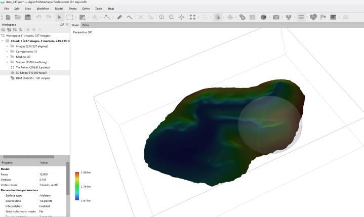
We provide aerial imaging, surveying, inspection and monitoring solutions using visual and thermal technology, mapping and digital models.
We support construction, energy, mining, real estate and monitoring with site data for analysis and progress tracking.
Methods, technology and operational scope are determined by the site, required deliverables and applicable permits.
Surveying and engineering inspection with a mission-suited payload.
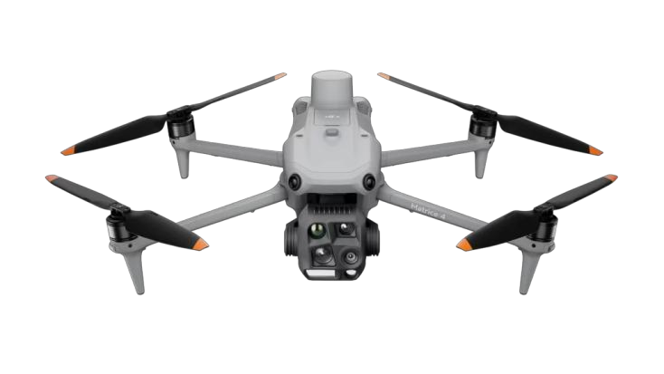
4E for mapping and site monitoring; 4T for visual and thermal inspection.
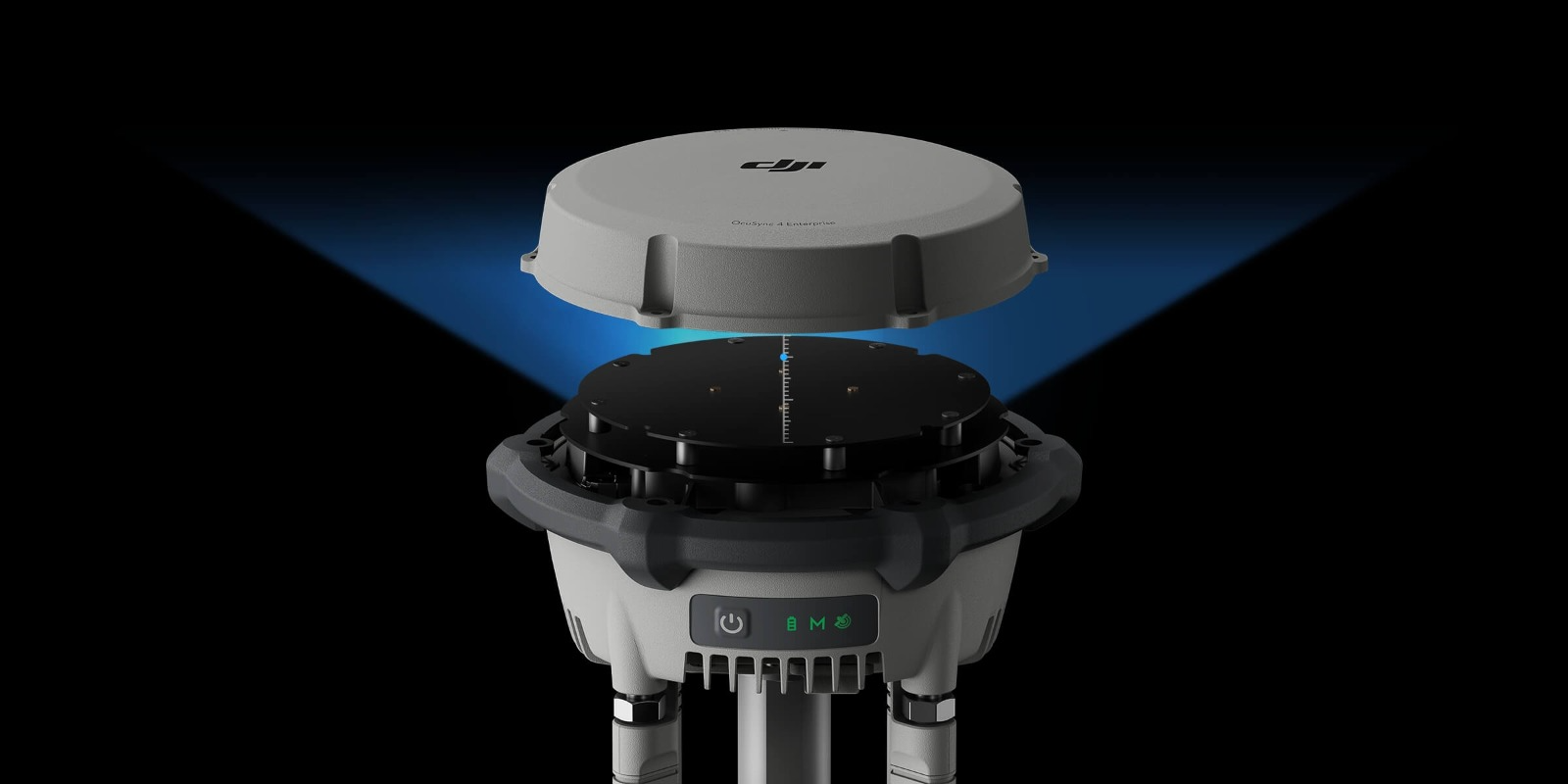
Supports precise positioning for surveying and control points.
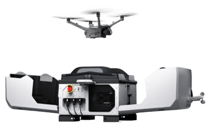
For scheduled site monitoring and periodic inspection managed remotely.

شركة ألتيفيزن
Unified national number
7036292105
 View registration details ↗

Flight operations are planned around the requirements and permits applicable to each mission.
Surveying and geospatial activities follow the requirements relevant to the project scope.
Permit, site and safety requirements inform mission planning.