01 /
Aerial surveying
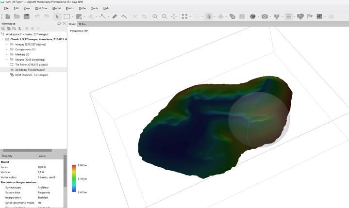
Maps, models and spatial data to support engineering planning, site measurements and quantity calculations.
View service details →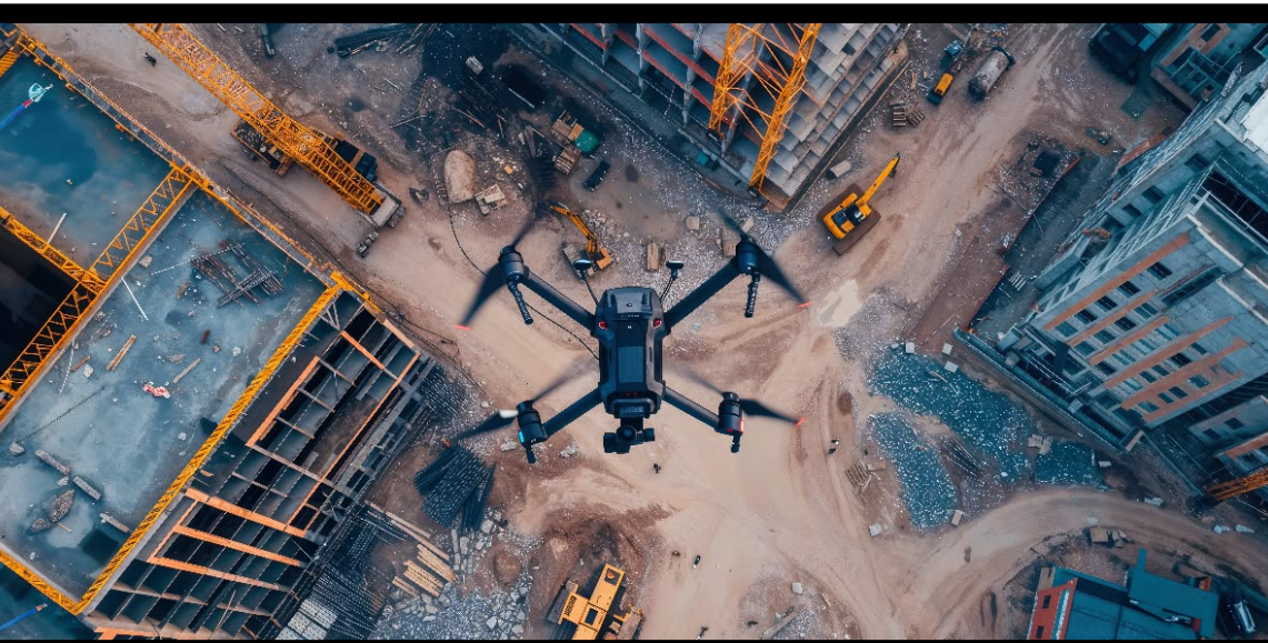
From site surveys and asset inspection to project monitoring, we turn aerial data into maps, imagery and reports that help your team make informed decisions.
Organizations featured in our journey of experience and work.




A Saudi business specializing in drone solutions, founded by engineers with expertise in operations and aerial data collection.
We turn site data into maps, models, reports or visual records, shaped by the mission and what your team needs for planning, inspection and monitoring.
Meet ALTIVISON →Maps, models and spatial data to support engineering planning, site measurements and quantity calculations.
View service details →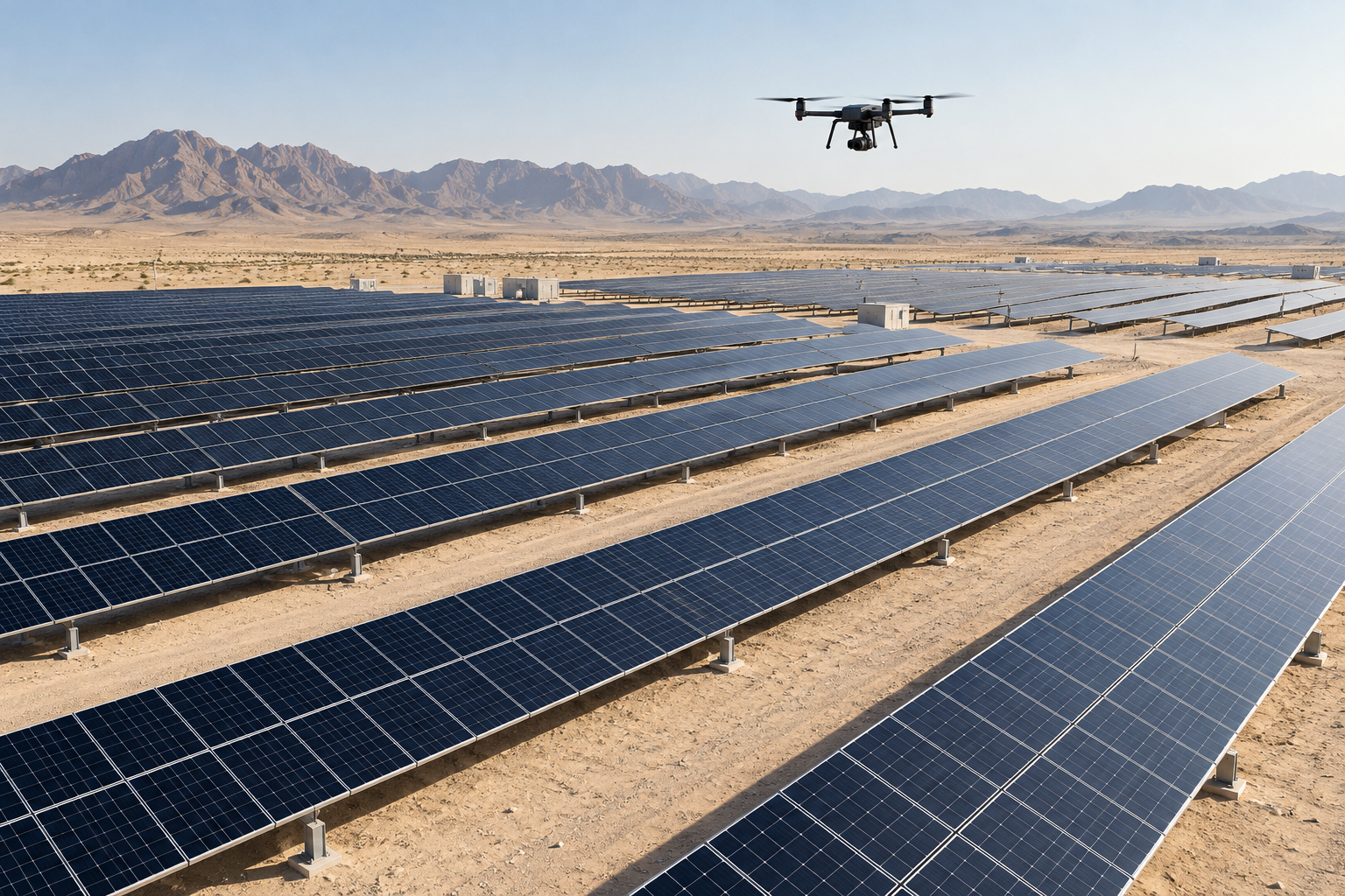
Thermal and visual aerial imagery showing temperature differences and observations on solar panels.
View service details →
Visual and thermal site monitoring, with observation views and documentation for operational awareness.
View service details →Understand the site, objective and required deliverables.
Plan the mission and select suitable technology.
Turn data into maps, models and reports.
Provide deliverables in the agreed formats.
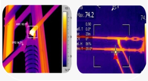
Visual and thermal imaging of towers, lines and insulators to document visible observations and thermal anomalies, with locations and imagery in a report to support maintenance. Mission scope is defined by site conditions, safety requirements and applicable permits.
Explore tower inspection →