
02 /
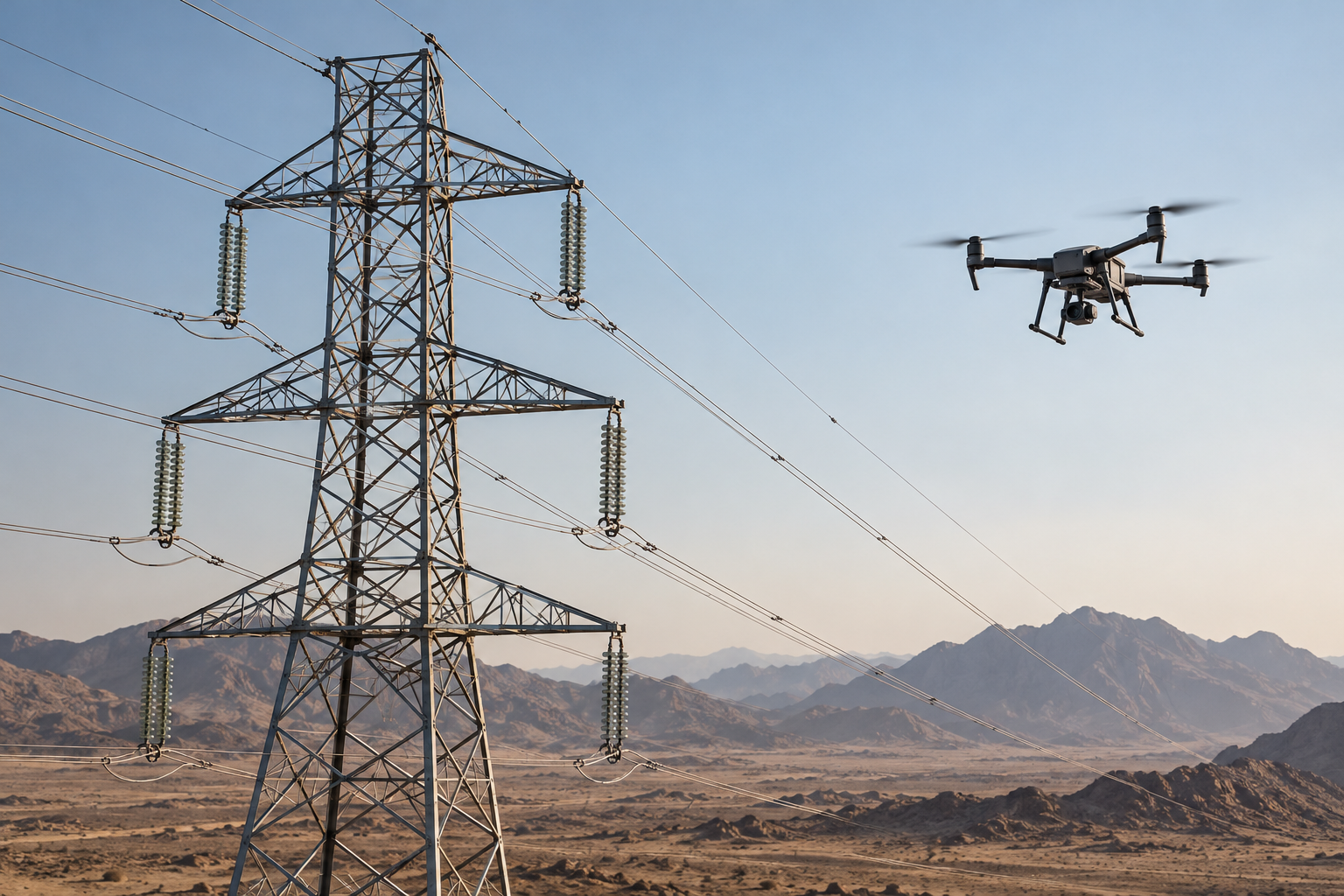
Power tower and line inspection
Visual and thermal inspection of towers, lines and insulators to document findings and support maintenance.
View service details →Maps, models and spatial data to support engineering planning, site measurements and quantity calculations.
Discuss this service ↗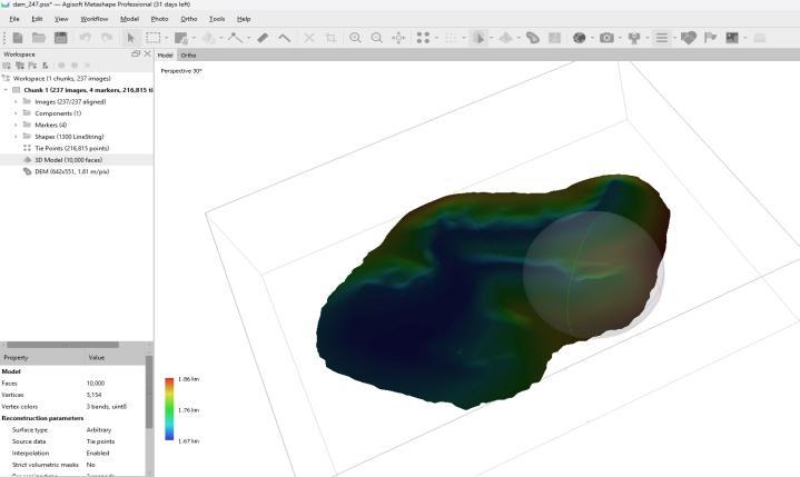
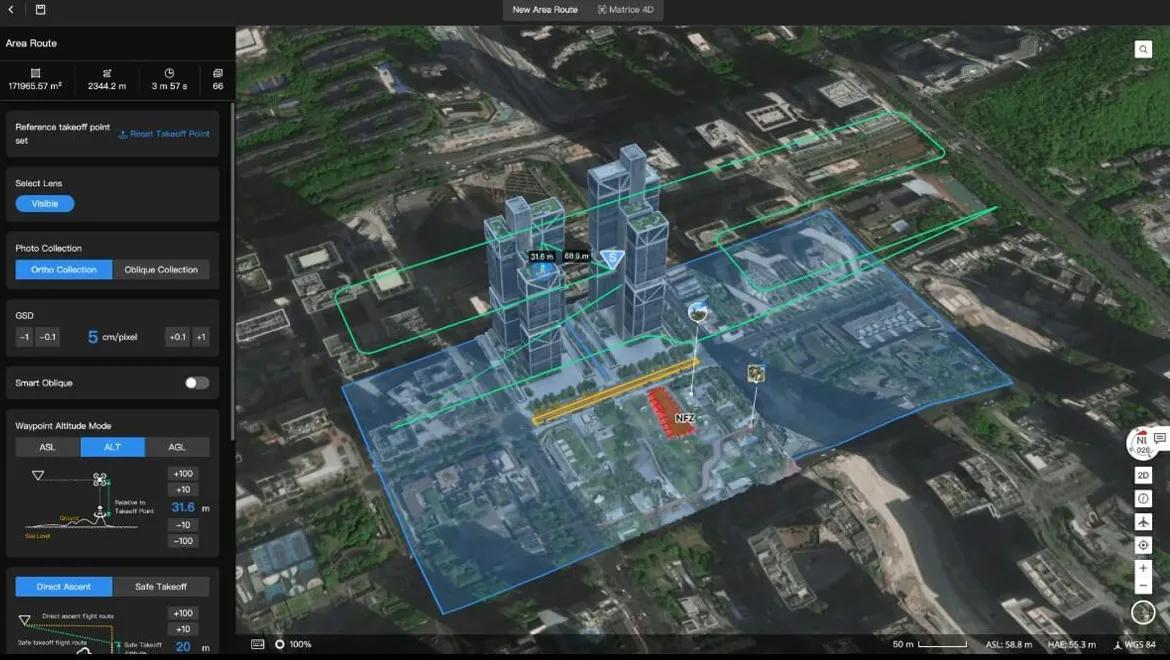
We plan site coverage and aerial image collection, then process the data into the required maps and models. Control points, coordinate systems and accuracy verification are agreed with the project team.
Deliverables, formats and mission requirements are agreed for each project.
Illustrative views and outputs
Visual and thermal inspection of towers, lines and insulators to document findings and support maintenance.
View service details →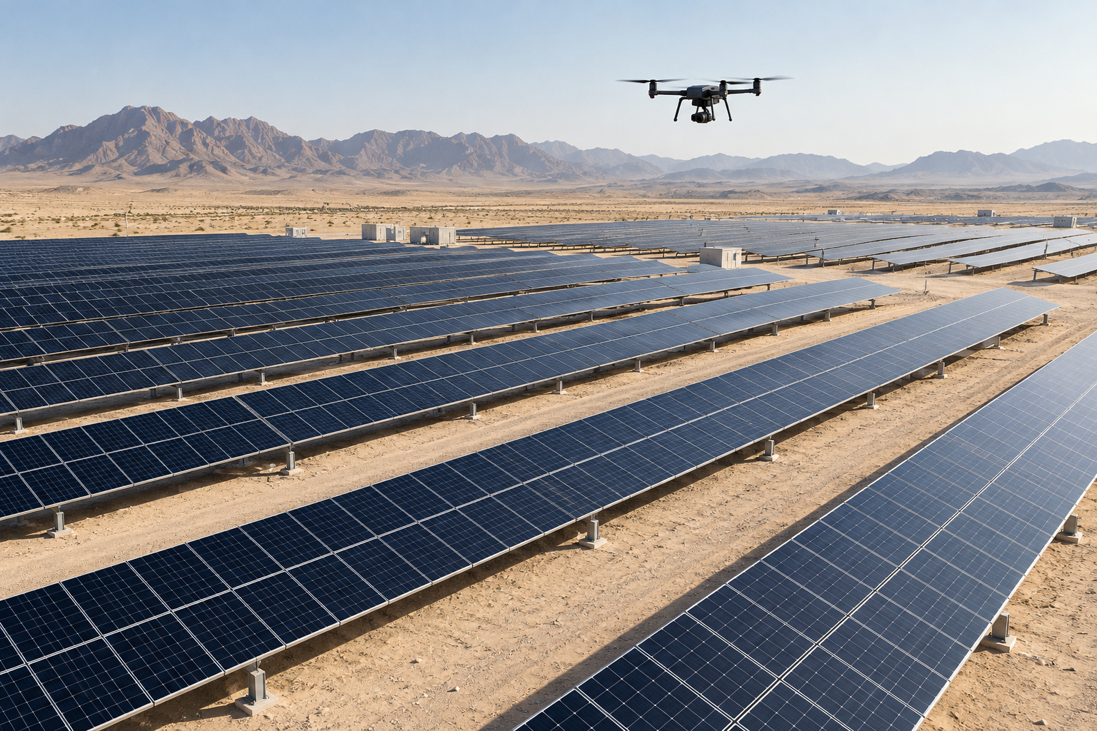
Thermal and visual aerial imagery showing temperature differences and observations on solar panels.
View service details →
Aerial photography and video that show a property's setting, access and amenities for presentations and marketing.
View service details →