
01 /
Aerial surveying
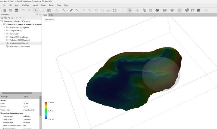
Maps, models and spatial data to support engineering planning, site measurements and quantity calculations.
View service details →Periodic aerial documentation of site progress and changes across project stages.
Discuss this service ↗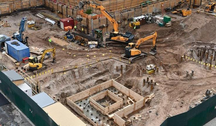
Periodic imaging, maps and models are organized to compare project stages, locate changes and review progress visually. Comparisons with plans and progress indicators depend on available data and the agreed scope.
Deliverables, formats and mission requirements are agreed for each project.
Illustrative views and outputs
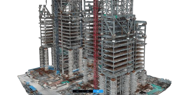
Maps, models and spatial data to support engineering planning, site measurements and quantity calculations.
View service details →
Visual and thermal inspection of towers, lines and insulators to document findings and support maintenance.
View service details →
Thermal and visual aerial imagery showing temperature differences and observations on solar panels.
View service details →