
01 /
Aerial surveying
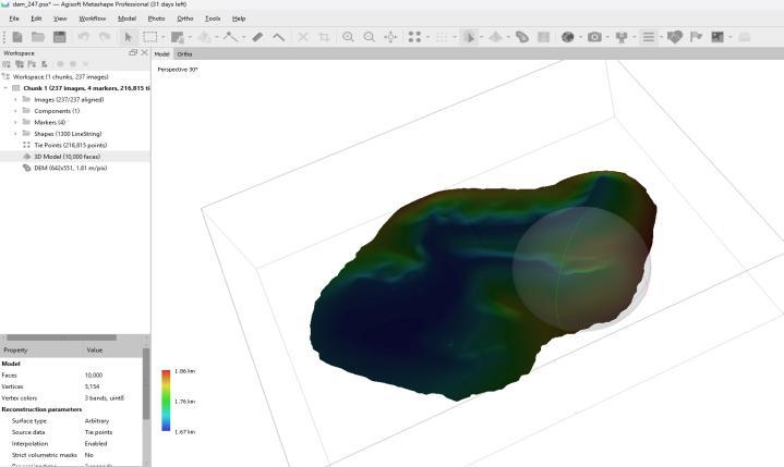
Maps, models and spatial data to support engineering planning, site measurements and quantity calculations.
View service details →Classroom and field training covering mission planning, safety, operation and data collection.
Discuss this service ↗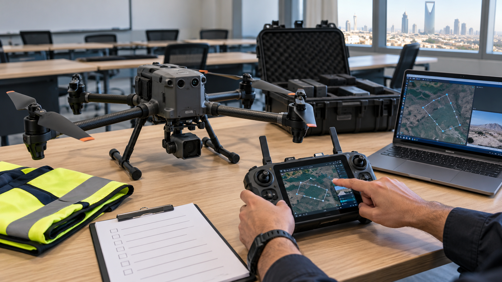
The program is shaped around trainee needs, combining theory and field practice in mission planning, safety, operation and data collection. Output processing is included according to the agreed syllabus.
Deliverables, formats and mission requirements are agreed for each project.
Maps, models and spatial data to support engineering planning, site measurements and quantity calculations.
View service details →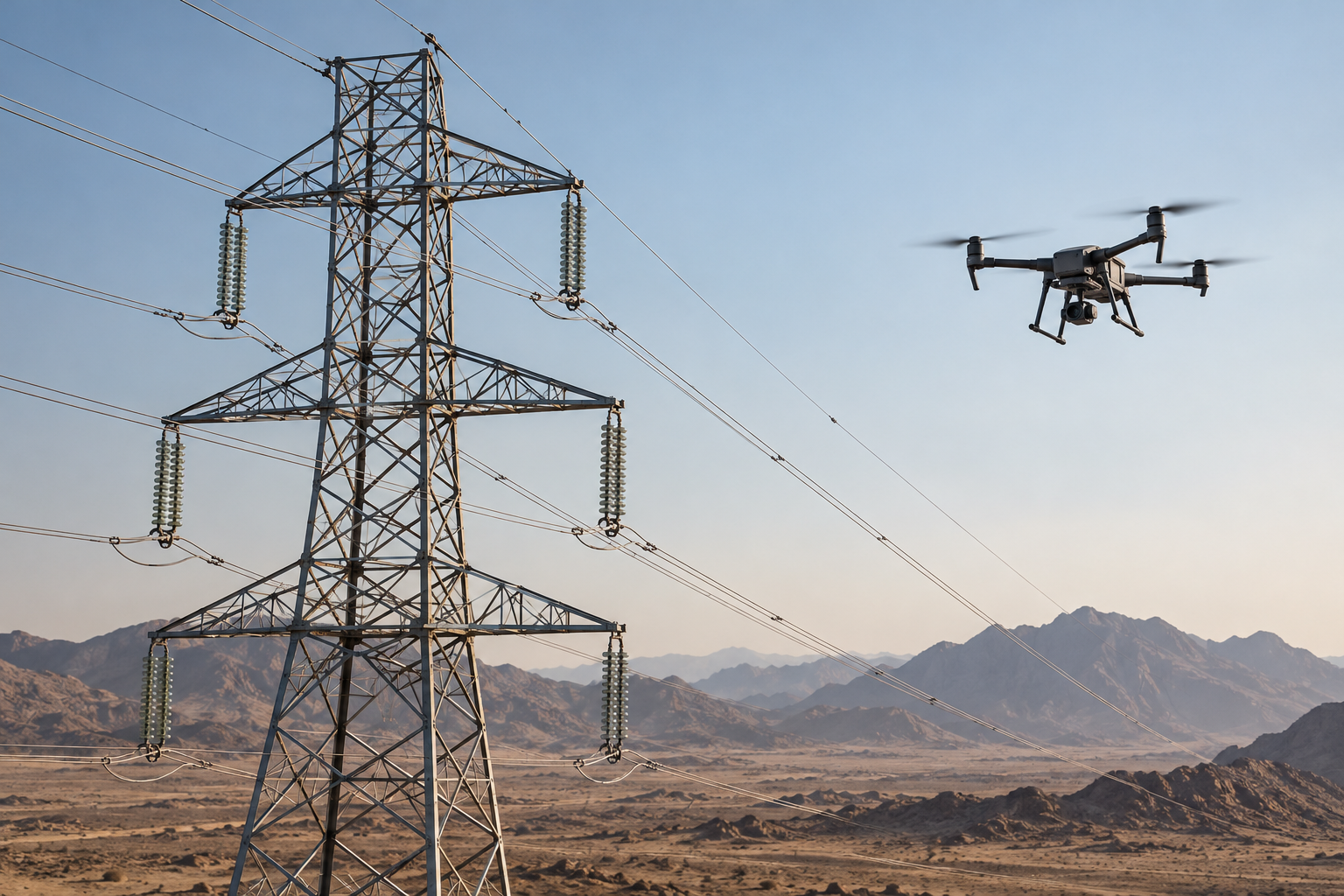
Visual and thermal inspection of towers, lines and insulators to document findings and support maintenance.
View service details →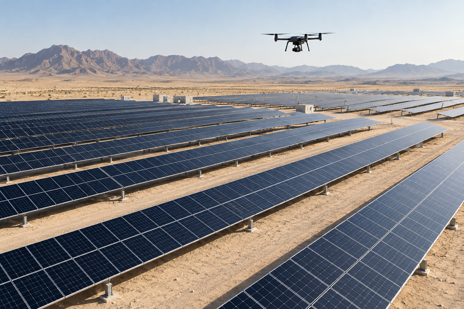
Thermal and visual aerial imagery showing temperature differences and observations on solar panels.
View service details →